CBSE Class 5 Social Studies – Latitudes and Longitudes
Chapter Overview
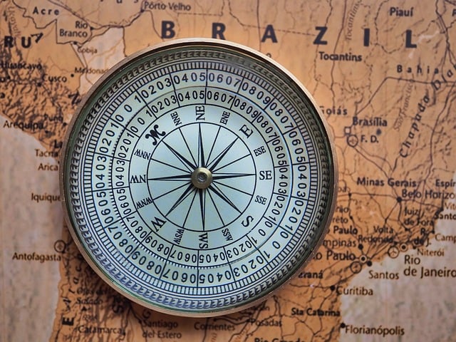
The chapter ‘Latitudes and Longitudes’ introduces students to the imaginary lines drawn on the globe to help in navigation and location identification. It explains how these lines divide the Earth and how they are used to determine time zones and climatic zones.
Important Keywords
Latitude: Imaginary horizontal lines running east to west.Longitude: Imaginary vertical lines running from the North Pole to the South Pole.Equator: The 0° latitude that divides the Earth into the Northern and Southern Hemispheres.Prime Meridian: The 0° longitude that divides the Earth into the Eastern and Western Hemispheres.Tropic of Cancer: 23.5°N latitude, marking the northern boundary of the tropics.Tropic of Capricorn: 23.5°S latitude, marking the southern boundary of the tropics.Time Zones: The Earth is divided into 24 time zones based on longitudes.
Detailed Notes
Sign In to view full chapter
(Latitudes and Longitudes - Detailed Notes) resources and this section.
Important Facts
Sign In to view full chapter
(Latitudes and Longitudes - Important Facts) resources and this section.
Comparison Table
Sign In to view full chapter
(Latitudes and Longitudes - Comparison Table) resources and this section.
Quick Revision
Sign In to view full chapter
(Latitudes and Longitudes - Quick Revision) resources and this section.
Real Life Connection
Sign In to view full chapter
(Latitudes and Longitudes - Real Life Connection) resources and this section.
Frequently Asked Questions (FAQs)
Sign In to view full chapter
(Latitudes and Longitudes - Frequently Asked Questions (FAQs)) resources and this section.
Learning Objectives
Sign In to view full chapter
(Latitudes and Longitudes - Learning Objectives) resources and this section.