CBSE Class 5 Social Studies – The Globe and Maps
Chapter Overview
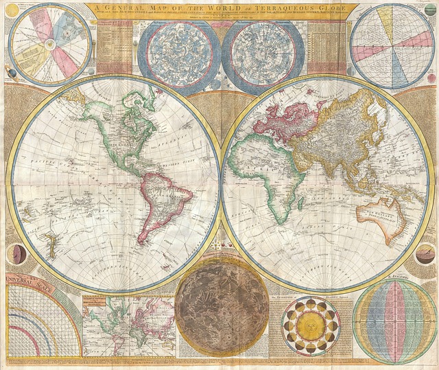
The chapter ‘The Globe and Maps’ explains how the Earth is represented using a globe and different types of maps. It covers key concepts such as latitude, longitude, directions, and map symbols. Students learn the importance of maps in understanding locations, planning routes, and geographical studies.
Important Keywords
Globe: A three-dimensional representation of the Earth.Map: A flat representation of the Earth's surface.Latitude: Imaginary horizontal lines that help locate places north or south of the Equator.Longitude: Imaginary vertical lines that help locate places east or west of the Prime Meridian.Compass Rose: A tool on maps that shows directions (North, South, East, and West).
Detailed Notes
Sign In to view full chapter
(The Globe and Maps - Detailed Notes) resources and this section.
Important Facts
Sign In to view full chapter
(The Globe and Maps - Important Facts) resources and this section.
Comparison Table
Sign In to view full chapter
(The Globe and Maps - Comparison Table) resources and this section.
Quick Revision
Sign In to view full chapter
(The Globe and Maps - Quick Revision) resources and this section.
Real Life Connection
Sign In to view full chapter
(The Globe and Maps - Real Life Connection) resources and this section.
Frequently Asked Questions (FAQs)
Sign In to view full chapter
(The Globe and Maps - Frequently Asked Questions (FAQs)) resources and this section.
Learning Objectives
Sign In to view full chapter
(The Globe and Maps - Learning Objectives) resources and this section.